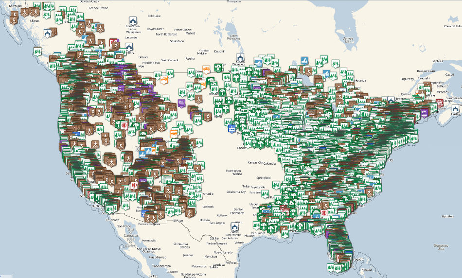
The map page is working now. We (the we that means quoderat by far) have been researching places to visit for months, saving off descriptions and gps coordinates, hunting for parking areas and trail heads with street view and satellite. (How did anyone travel before Google?)
We’ve focused on the outer thirds of the country. There are over 8,800 points now. We’re using a clustering library for the actual map, but below is a screen shot without the clustering. You can see the mountain ranges in the density of the points.
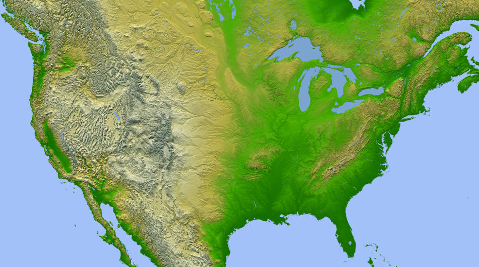
Here is a topo map scaled down from NASA’s Shuttle Radar Topography Mission for comparison.
A trip that is measured in months seems like such a long time, surely there must be time for everything, but there is so much to see. We always intended to collect more points than we’d actually end up visiting to give us flexibility, but as we’re starting to make reservations, we’re beginning to have to make those choices of what to leave out in order to keep a pace that balances getting to see new places and staying long enough to experience them.